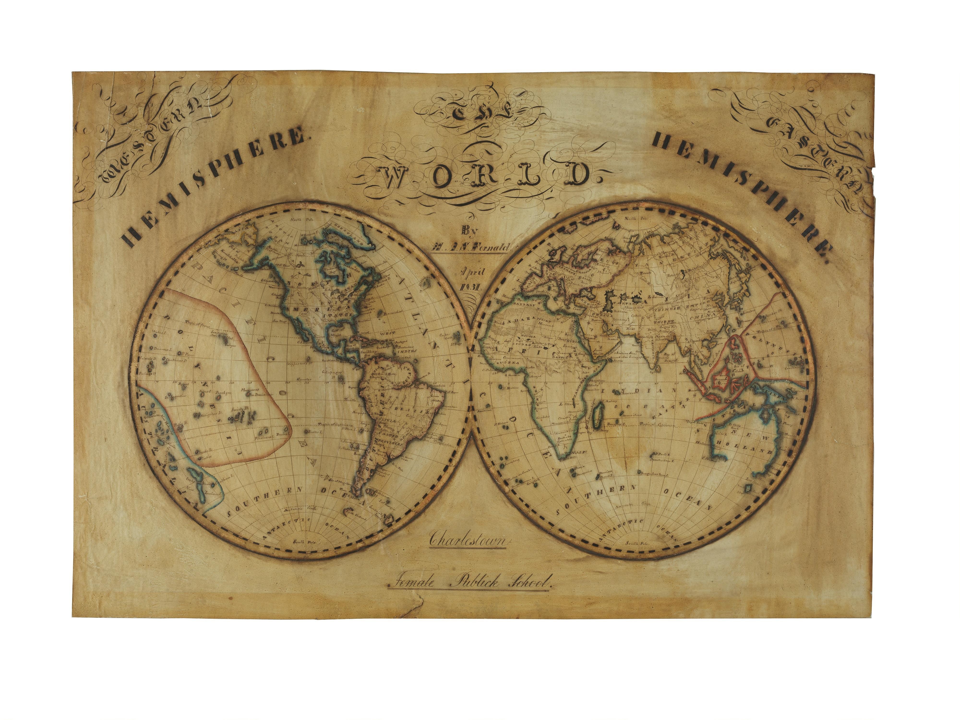
1831 World Map by Marianne S. Fernald, Student at Charlestown Female Academy
Two circular hemispheres show the Eastern and Western Hemispheres of the world, drawn in ink with blue and red outlines on aged, tinted paper. Ornate calligraphic lettering reads "World" and "Hemisphere" above, with a school name inscribed below the maps.
- Artist
- Unknown
- Date
- 1831
- Medium
- paper (overall material) ink (overall material)
- Source
- Smithsonian (National Museum of American History)
- Size
- 4000 × 3000 px
Rights checked 2026-11-05 · tier A · as stated by the source: CC0 (Smithsonian Open Access)
Credit (appreciated, not required for public-domain works): Smithsonian Institution, National Museum of American History
Español: Mapa del mundo de 1831 por Marianne S. Fernald, Academia Femenina de Charlestown
Dos mapas circulares muestran los hemisferios Oriental y Occidental del mundo, dibujados con tinta sobre papel envejecido y teñido. Una caligrafía ornamentada dice "World" y "Hemisphere" arriba, y un nombre de escuela aparece inscrito debajo de los mapas.
Português: Mapa-múndi de 1831 por Marianne S. Fernald, Academia Feminina de Charlestown
Dois mapas circulares mostram os hemisférios Oriental e Ocidental do mundo, desenhados em tinta sobre papel envelhecido e tingido. Uma caligrafia ornamentada traz "World" e "Hemisphere" no alto, e o nome de uma escola aparece inscrito abaixo dos mapas.