Axial Commons Image Treasury
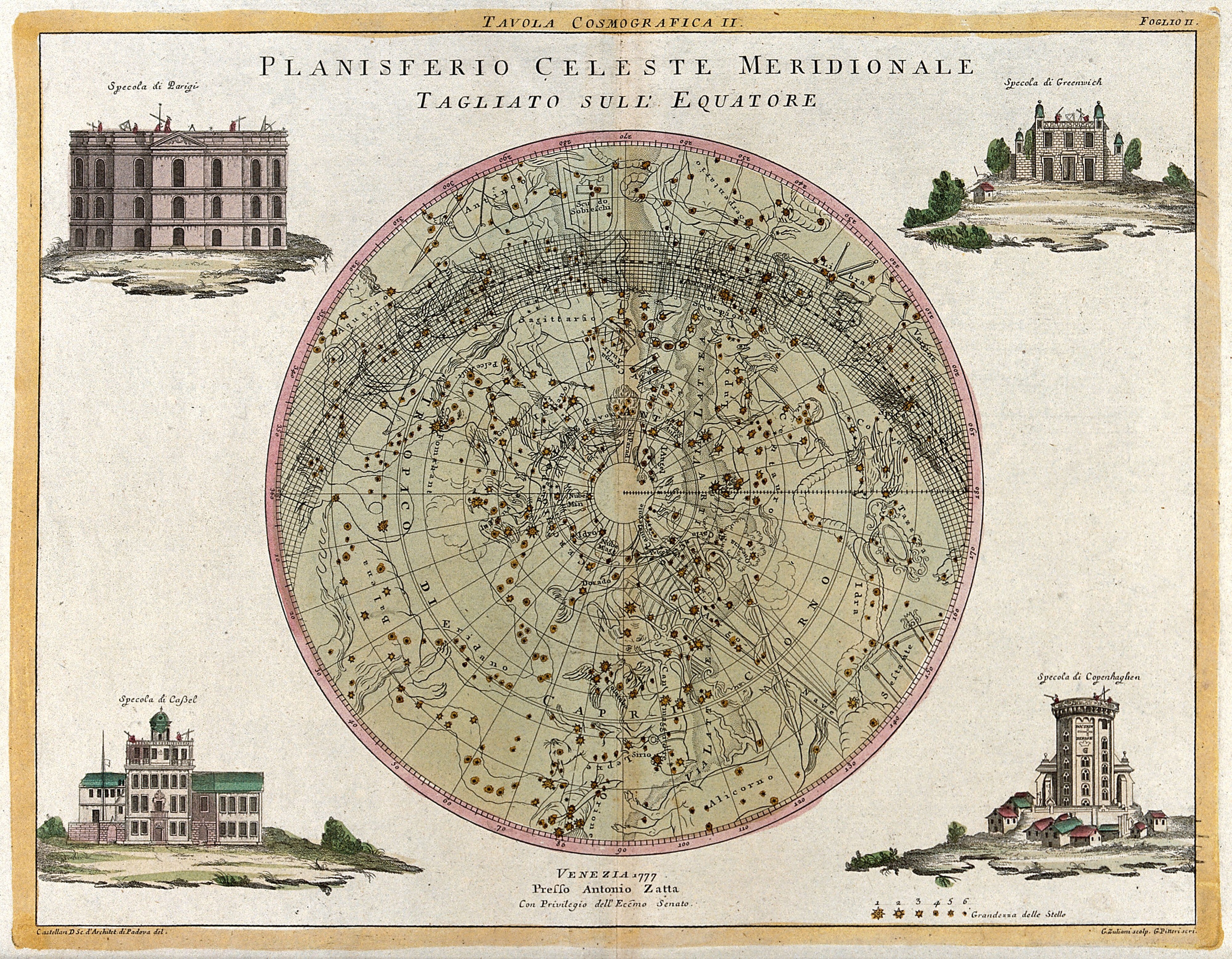
Hand-coloured engraved celestial star map in a circle, with four small architectural views of buildings in the corners on a cream paper border.

Astronomy: a star map of the night sky. Coloured engraving by G. Zuliani after Castellan, with lettering by G. Pitteri, 1777.

A hand-coloured engraved star map showing the southern night sky in a circular projection, with constellations and stars rendered as small dots and figures within a pale green field. Four framed architectural views of buildings surround the central circle, set on small vignettes of landscape.

Artist
Giuliano Zuliani
Date
1777
Medium
Engravings
Source
Wellcome Collection
Size
4000 × 3112 px
Download full size
Public domain · Wellcome Collection marks it Public Domain Mark; made by 1777.
Rights checked 2026-11-05 · tier A · as stated by the source: Public Domain Mark (Wellcome Collection)

Credit (appreciated, not required for public-domain works): Wellcome Collection

Español: Planisferio celeste meridional: mapa estelar del cielo sur, 1777

Un mapa estelar grabado y coloreado a mano que muestra el cielo nocturno del sur en proyección circular, con constelaciones y estrellas representadas como pequeños puntos sobre un fondo verde pálido. Cuatro vistas arquitectónicas enmarcadas rodean el círculo central, sobre pequeñas escenas de paisaje.

Português: Planisfério celeste meridional: mapa estelar do céu do sul, 1777

Um mapa estelar gravado e colorido à mão mostra o céu noturno do sul em projeção circular, com constelações e estrelas representadas como pequenos pontos sobre um fundo verde claro. Quatro vistas arquitetônicas emolduradas cercam o círculo central, sobre pequenas cenas de paisagem.
More from The Zodiac and the Stars

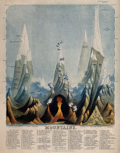
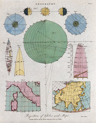
Coloured engraving of tall snowy mountain peaks of varying heights with a glowing volcano at center and a dense text key along the bottom.Geography: the comparative heights of the highest mountains. Coloured engraving by J. EmslHand-coloured engraving titled Geography with circular globe diagrams, cone projections, and colored maps of Italy and Asia on a cream page.Geography: the earth, and methods of mapping. Coloured engraving by Neele, 1807.Black and white engraving of a man on a ladder by a tall tree, a figure and a pig at lower left, a village and a flying animal in the sky, caption MARTIUS below.Twaalf maandenPrinted astronomy chart with a grid of colored diagrams: two globes, armillary spheres, orbit diagrams, and circular sky charts, with dense text columns.Cosmology and cosmography: planets and the movements of spheres. Coloured etching, 1875.Engraving of a rural scene: men shear and wash sheep by a stream, cattle graze, a half-timbered farmhouse stands at left, and a town appears in the distance.De twaalf maandenColoured engraving diagram of Earth's orbit around a yellow sun, with four globes showing the seasons and zodiac signs around the ellipse.Astronomy: a diagram of the Earth's orbit around the Sun in a solar year showing the chang