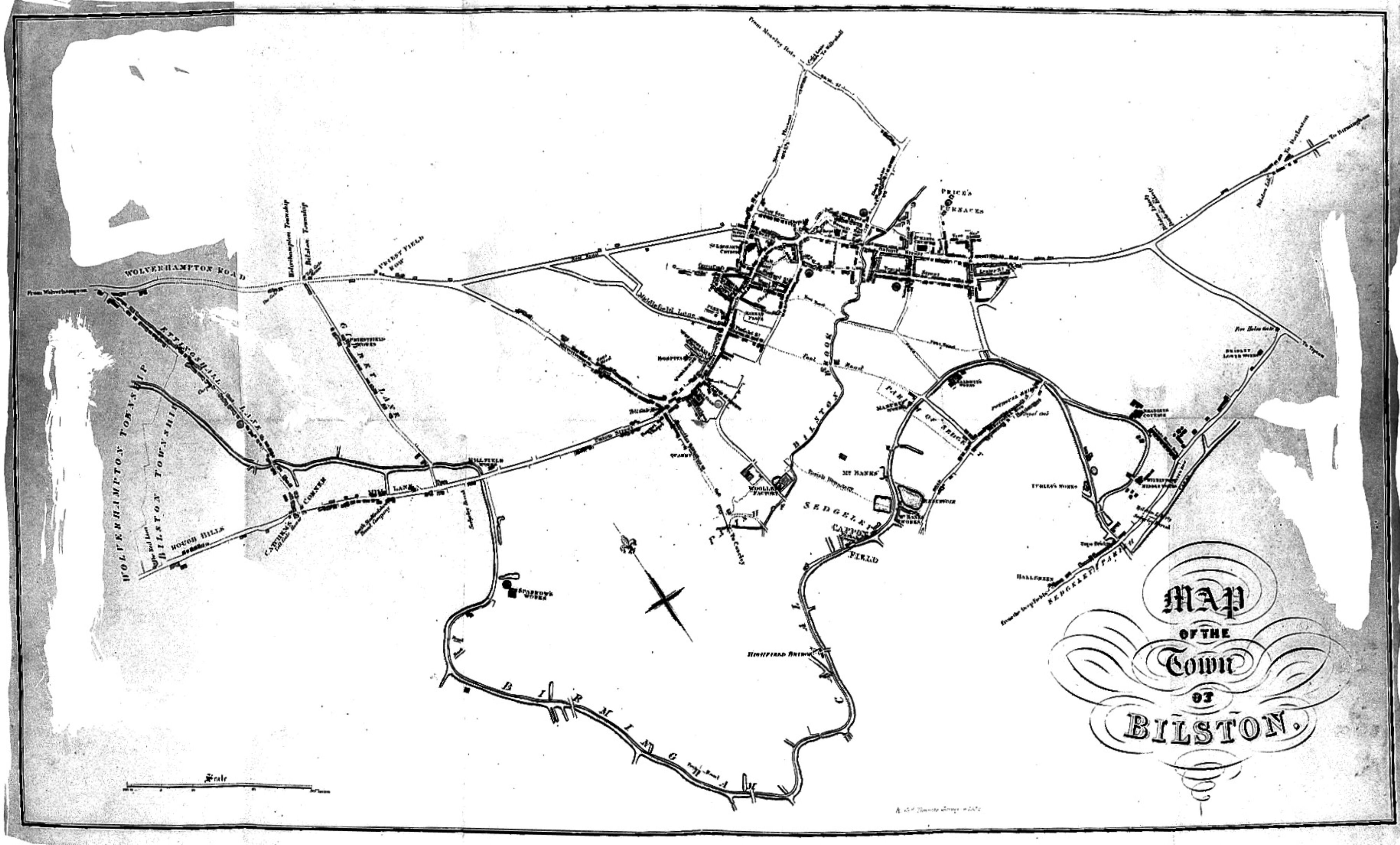
Map of the Town of Bilston, England
A hand-drawn map of the town of Bilston, showing streets and roads radiating from a dense cluster of buildings at the top, with scattered field boundaries and a large outlined area below. Ornamental lettering in the lower right reads "Map of the Town of Bilston." The ink drawing is faded, with grey toning along the edges.
- Artist
- Leigh, William, 1778?-1858.
- Date
- 1833
- Medium
- Source
- Wellcome Collection
- Size
- 4000 × 2414 px
Public domain · Wellcome Collection marks it Public Domain Mark; made by 1833.
Rights checked 2026-11-05 · tier A · as stated by the source: Public Domain Mark (Wellcome Collection)
Rights checked 2026-11-05 · tier A · as stated by the source: Public Domain Mark (Wellcome Collection)
Credit (appreciated, not required for public-domain works): Wellcome Collection