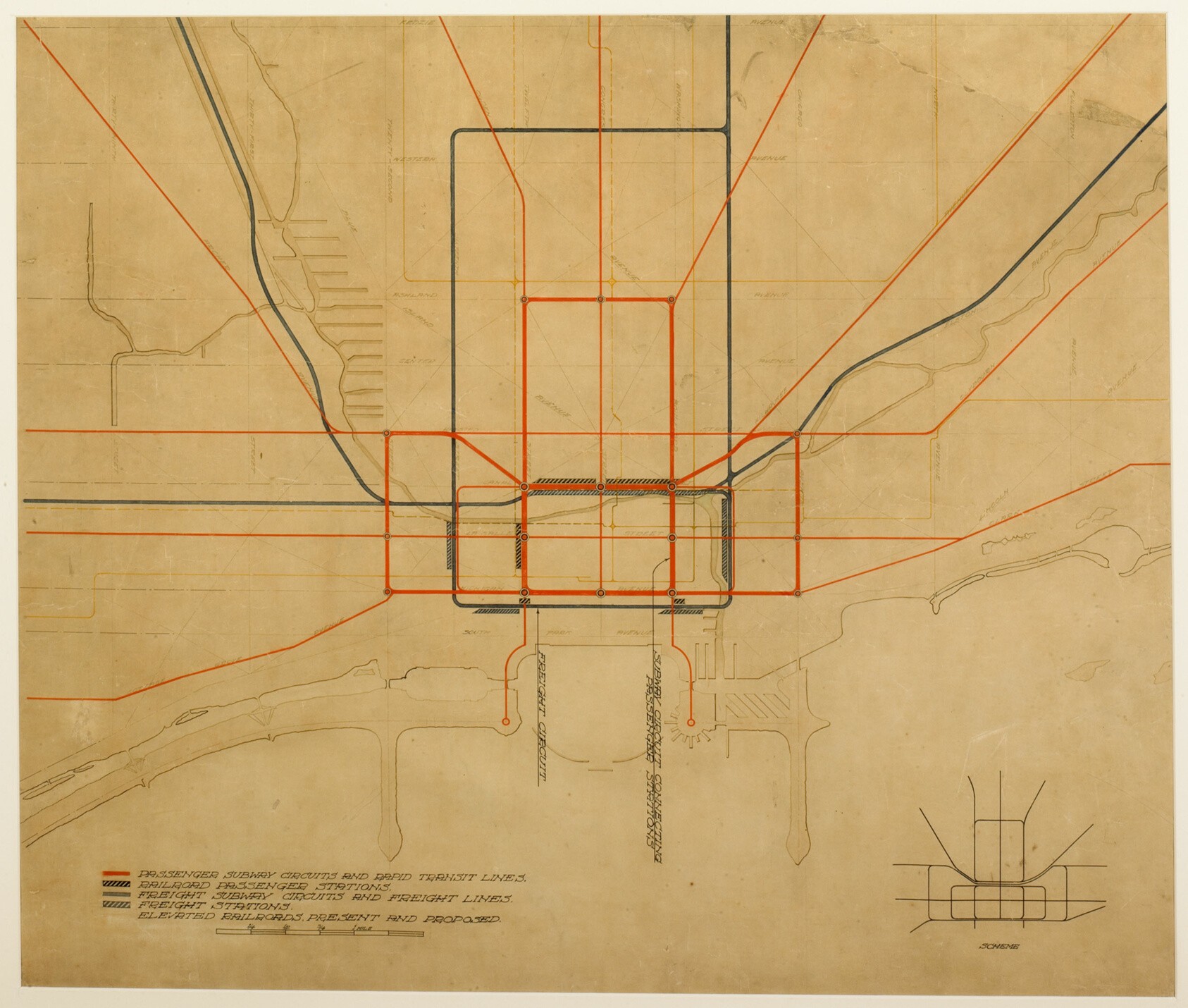
Plate 75, The Plan of Chicago (1909): Diagram of Inner Circuits
Tan printed street map of a city overlaid with red and dark grey lines: a dense cluster of rectangles at the center, with straight diagonal red routes radiating outward. A legend in the lower left and a small inset map at lower right.
- Artist
- Daniel Hudson Burnham
- Date
- 1909
- Medium
- Colored ink on a printed map
- Source
- Art Institute of Chicago
- Size
- 1686 × 1430 px
Public domain · Art Institute of Chicago releases this image under CC0 (latest date 1909).
Rights checked 2026-11-05 · tier A · as stated by the source: CC0 (Art Institute of Chicago, is_public_domain=true)
Rights checked 2026-11-05 · tier A · as stated by the source: CC0 (Art Institute of Chicago, is_public_domain=true)
Credit (appreciated, not required for public-domain works): Art Institute of Chicago, On permanent loan to The Art Institute of Chicago from the City of Chicago