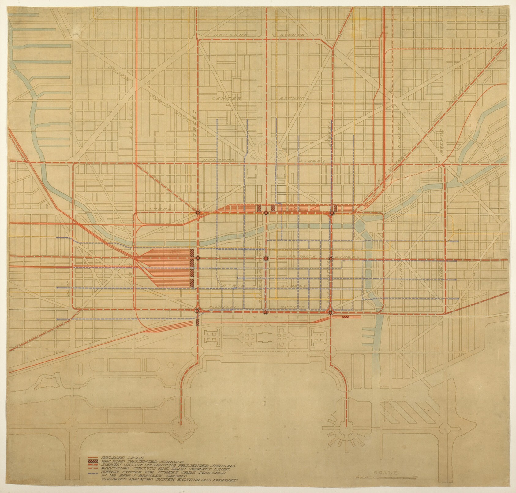
Plate 80, The Plan of Chicago (1909): City Center Diagram
A colored-ink diagram on tan paper maps a dense street grid with diagonal avenues and a river curving through it. Red and blue lines mark proposed rail routes, transit, and subway lines converging on a central hub, with a large open civic plaza and waterfront shown at the bottom.
- Artist
- Daniel Hudson Burnham
- Date
- 1909
- Medium
- Colored ink and paint on a printed map
- Source
- Art Institute of Chicago
- Size
- 1686 × 1613 px
Public domain · Art Institute of Chicago releases this image under CC0 (latest date 1909).
Rights checked 2026-11-05 · tier A · as stated by the source: CC0 (Art Institute of Chicago, is_public_domain=true)
Rights checked 2026-11-05 · tier A · as stated by the source: CC0 (Art Institute of Chicago, is_public_domain=true)
Credit (appreciated, not required for public-domain works): Art Institute of Chicago, On permanent loan to The Art Institute of Chicago from the City of Chicago