Axial Commons Image Treasury
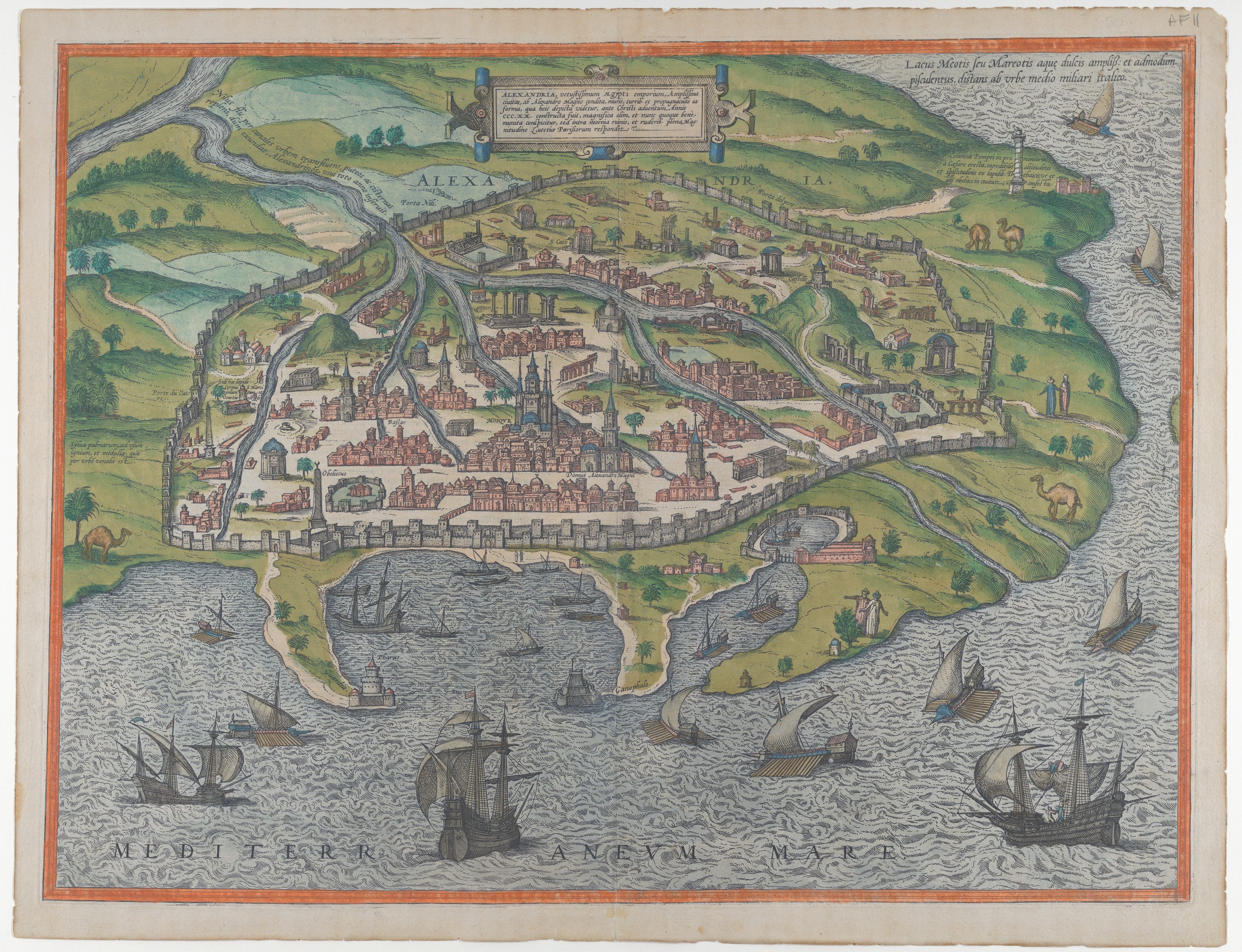
Mapa de Alexandria de 1575, colorido à mão, com muralhas, ruas e navios no Mediterrâneo

Map of Alexandria

Vista aérea de Alexandria vista do mar, com traçado de ruas, muralhas, mesquitas e torres estendido ao longo da costa. Barcos com velas e remos enchem a água azul colorida à mão, enquanto campos verdes emolduram a cidade sob um cartucho decorativo com o título.

Artista
Georg Braun
Data
1575
Técnica
Etching, hand colored
Fonte
The Metropolitan Museum of Art
Tamanho
3858 × 2957 px
Baixar em tamanho original
Domínio público · The Metropolitan Museum of Art releases this image under CC0 (latest date 1575).
Direitos verificados 2026-11-05 · nível A · conforme a fonte: CC0 (The Met Open Access, isPublicDomain=true)

Crédito (bem-vindo, não obrigatório em obras de domínio público): The Metropolitan Museum of Art, Gift of Elaine and Lewis Dubroff, 2013
Mais de Mapas e cosmos

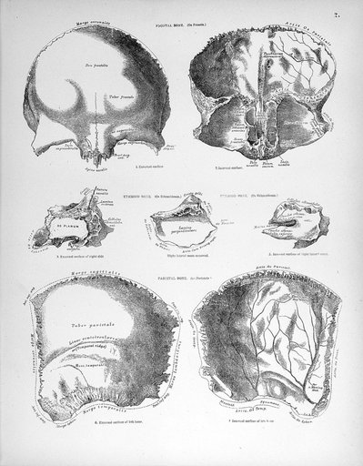
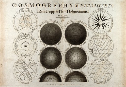
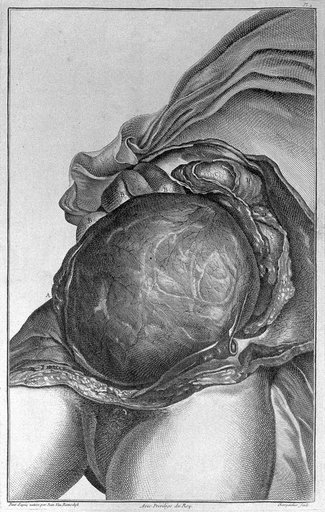
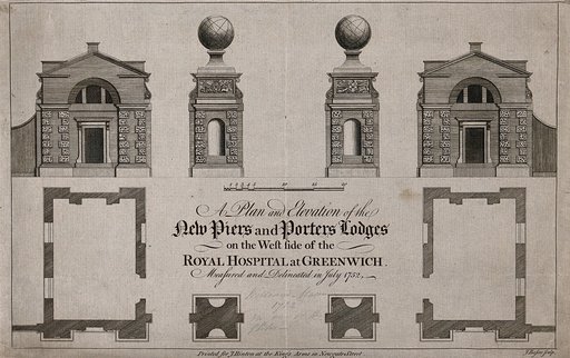
Celestial globe with clockworkCelestial globe with clockworkThe descriptive atlas of anatomy : a representation of the anatomy of the human body / by Noble Smith.The descriptive atlas of anatomy : a representation of the anatomy of the human body / by The descriptive atlas of anatomy : a representation of the anatomy of the human body / by Noble Smith.The descriptive atlas of anatomy : a representation of the anatomy of the human body / by Astronomy: a star map of the night sky. Engraving, 1786.Astronomy: a star map of the night sky. Engraving, 1786.Demonstration de la matrice d'une femme grosse et de son enfant a terme. Ouvrage en six planches peintes d'après nature et disposées de façon à donner l'idée la plus exacte de l'état de grossesse / Par les soins et sous la direction, de Charles Nicolas Jenty.Demonstration de la matrice d'une femme grosse et de son enfant a terme. Ouvrage en six plRoyal Naval Hospital, Greenwich, the gate piers and porters' lodges: plans and elevations, with a scale of feet. Engraving by J. Basire after himself, 1752.Royal Naval Hospital, Greenwich, the gate piers and porters' lodges: plans and elevations,