Axial Commons Image Treasury
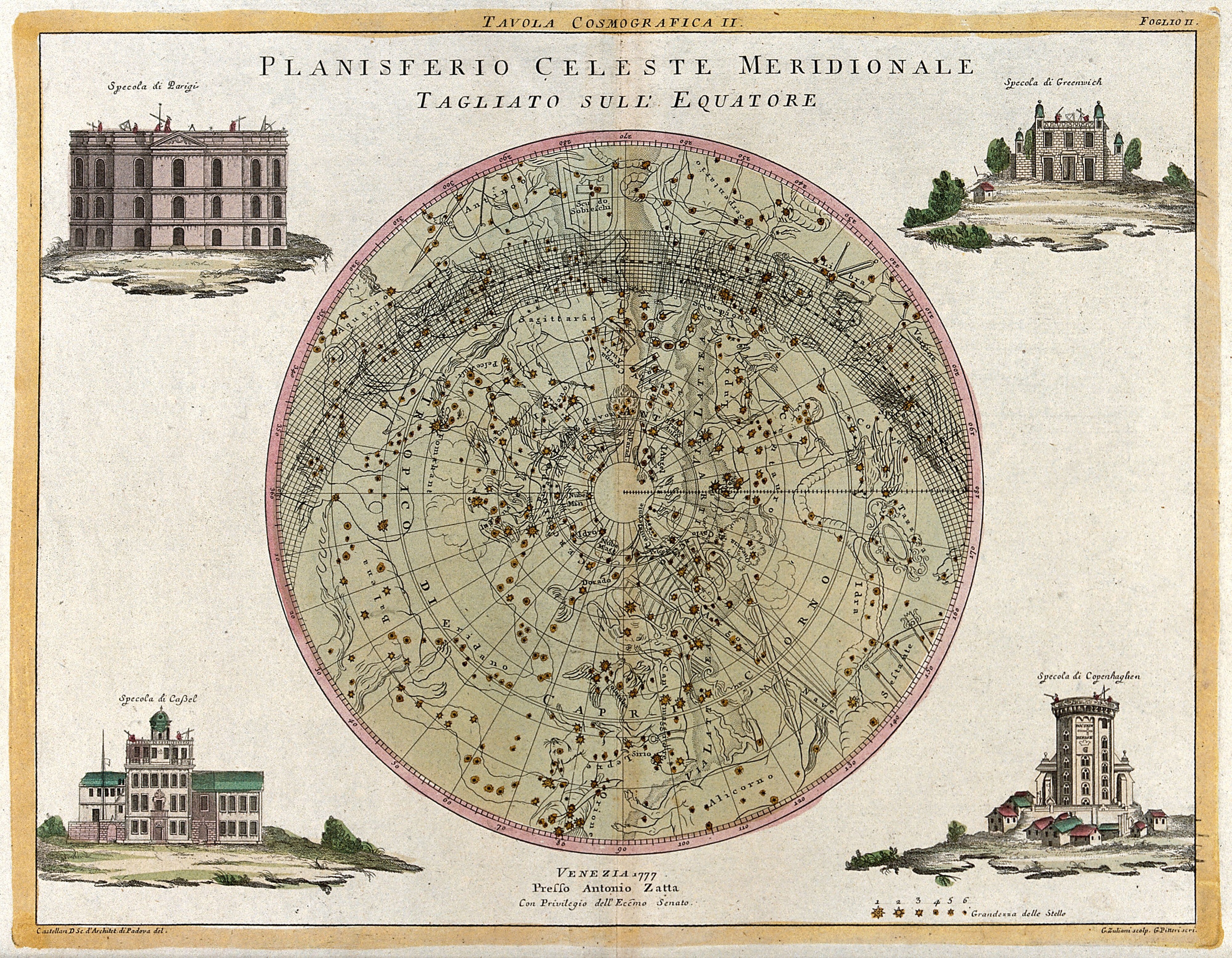
Mapa estelar celeste grabado y coloreado a mano en un círculo, con cuatro pequeñas vistas de edificios en las esquinas sobre un borde de papel crema.

Planisferio celeste meridional: mapa estelar del cielo sur, 1777

Un mapa estelar grabado y coloreado a mano que muestra el cielo nocturno del sur en proyección circular, con constelaciones y estrellas representadas como pequeños puntos sobre un fondo verde pálido. Cuatro vistas arquitectónicas enmarcadas rodean el círculo central, sobre pequeñas escenas de paisaje.

Artista
Giuliano Zuliani
Fecha
1777
Técnica
Engravings
Fuente
Wellcome Collection
Tamaño
4000 × 3112 px
Descargar en tamaño completo
Dominio público · Wellcome Collection marks it Public Domain Mark; made by 1777.
Derechos verificados 2026-11-05 · nivel A · según la fuente: Public Domain Mark (Wellcome Collection)

Crédito (se agradece, no es obligatorio en obras de dominio público): Wellcome Collection
Más de El zodíaco y las estrellas

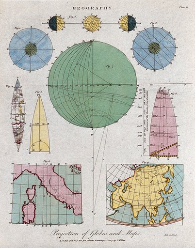
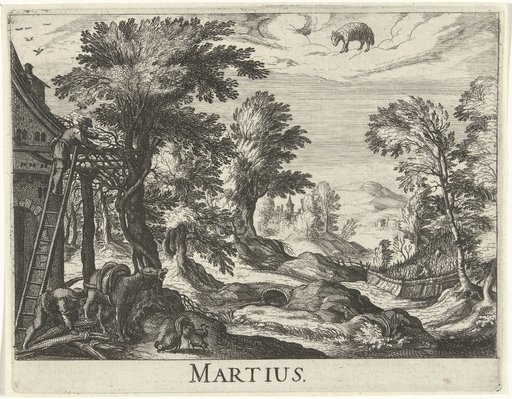
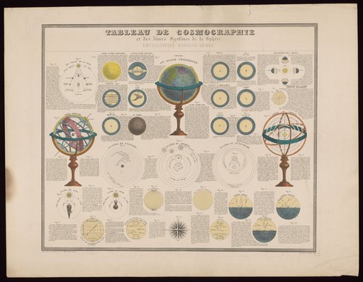
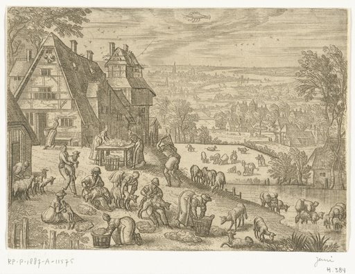
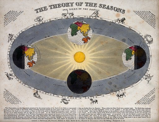
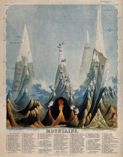
Geography: the comparative heights of the highest mountains. Coloured engraving by J. Emslie.Geography: the comparative heights of the highest mountains. Coloured engraving by J. EmslGeography: the earth, and methods of mapping. Coloured engraving by Neele, 1807.Geography: the earth, and methods of mapping. Coloured engraving by Neele, 1807.Twaalf maandenTwaalf maandenCosmology and cosmography: planets and the movements of spheres. Coloured etching, 1875.Cosmology and cosmography: planets and the movements of spheres. Coloured etching, 1875.De twaalf maandenDe twaalf maandenAstronomy: a diagram of the Earth's orbit around the Sun in a solar year showing the changing seasons. Coloured engraving by J. Emslie, 1851, after himself.Astronomy: a diagram of the Earth's orbit around the Sun in a solar year showing the chang