Axial Commons Image Treasury
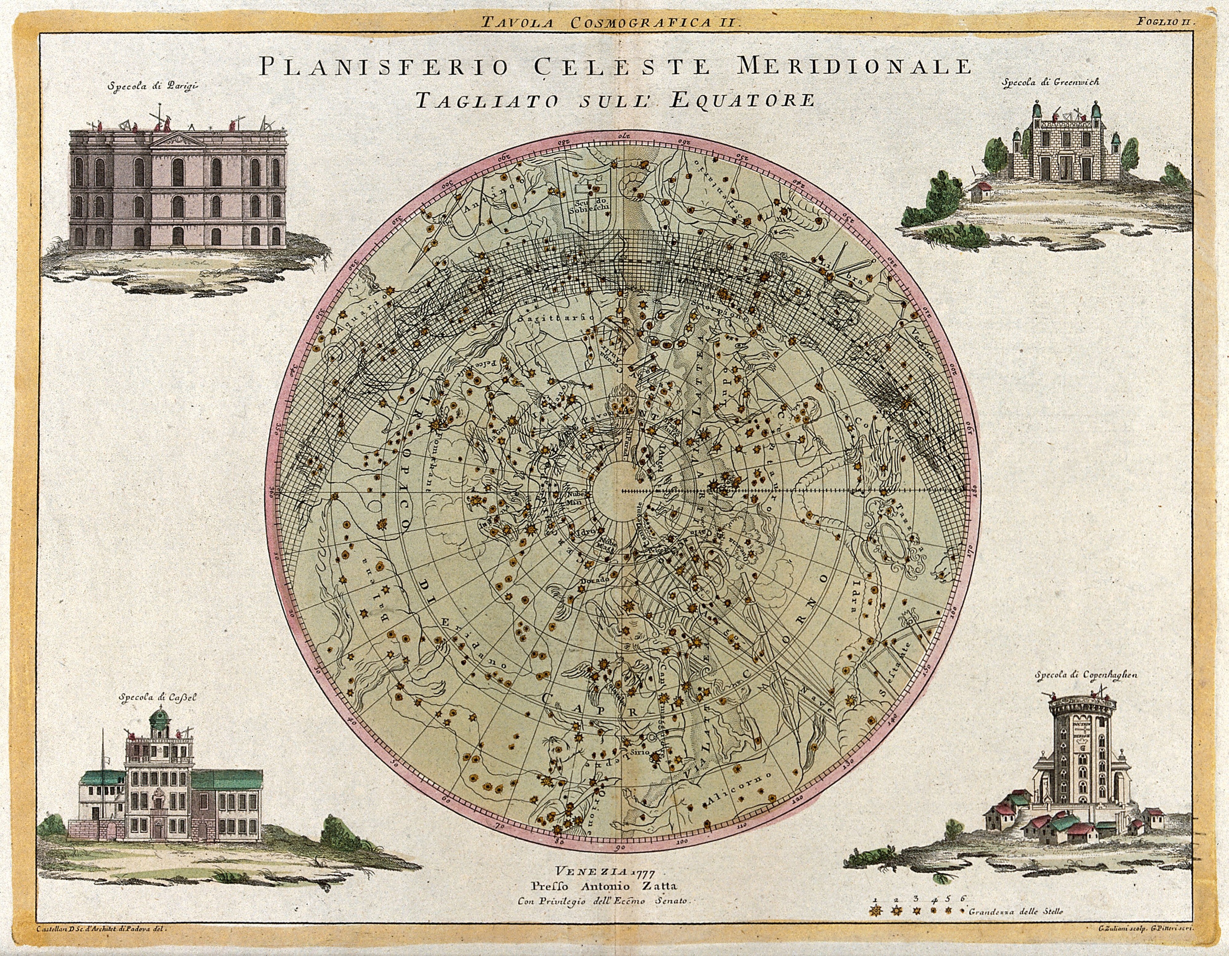
Mapa estelar celeste gravado e colorido à mão em forma de círculo, com quatro pequenas vistas de edifícios nos cantos sobre uma borda de papel creme.

Planisfério celeste meridional: mapa estelar do céu do sul, 1777

Um mapa estelar gravado e colorido à mão mostra o céu noturno do sul em projeção circular, com constelações e estrelas representadas como pequenos pontos sobre um fundo verde claro. Quatro vistas arquitetônicas emolduradas cercam o círculo central, sobre pequenas cenas de paisagem.

Artista
Giuliano Zuliani
Data
1777
Técnica
Engravings
Fonte
Wellcome Collection
Tamanho
4000 × 3112 px
Baixar em tamanho original
Domínio público · Wellcome Collection marks it Public Domain Mark; made by 1777.
Direitos verificados 2026-11-05 · nível A · conforme a fonte: Public Domain Mark (Wellcome Collection)

Crédito (bem-vindo, não obrigatório em obras de domínio público): Wellcome Collection
Mais de O zodíaco e as estrelas

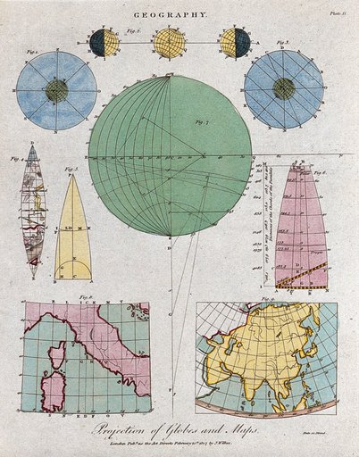
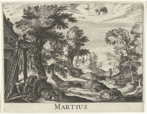
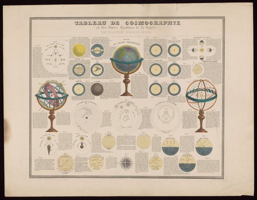
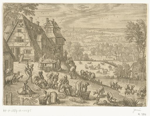
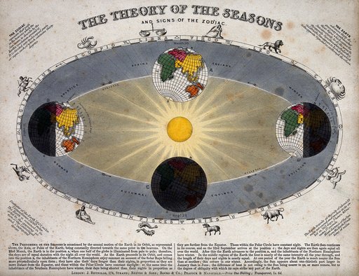
Geography: the comparative heights of the highest mountains. Coloured engraving by J. Emslie.Geography: the comparative heights of the highest mountains. Coloured engraving by J. EmslGeography: the earth, and methods of mapping. Coloured engraving by Neele, 1807.Geography: the earth, and methods of mapping. Coloured engraving by Neele, 1807.Twaalf maandenTwaalf maandenCosmology and cosmography: planets and the movements of spheres. Coloured etching, 1875.Cosmology and cosmography: planets and the movements of spheres. Coloured etching, 1875.De twaalf maandenDe twaalf maandenAstronomy: a diagram of the Earth's orbit around the Sun in a solar year showing the changing seasons. Coloured engraving by J. Emslie, 1851, after himself.Astronomy: a diagram of the Earth's orbit around the Sun in a solar year showing the chang